
 Langtang National Park is a national park in the Himalayas in northern Nepal.
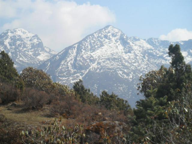
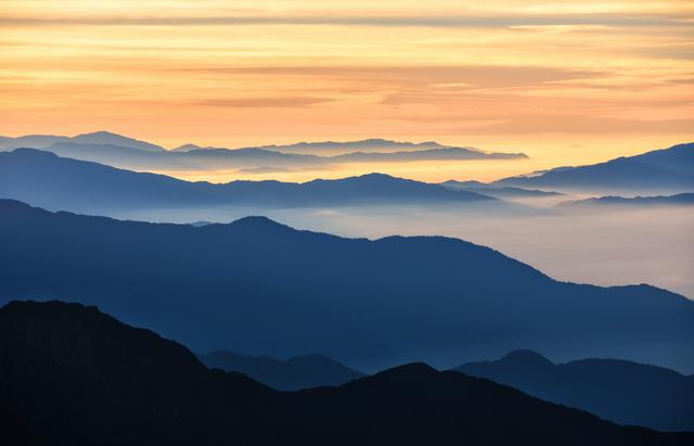
The park was established in 1976 as the first Himalayan and forth national park in Nepal. It covers, with a buffer zone, and is linked with the Qomolangma National Nature Preserve in Tibet. The highest peak is Langtang Lirung at . It has rich biodiversity with vegetation ranging from tropical forests below altitude to alpine scrub and perennial ice.
Buffer zone management is a joint venture between the park office and the local communities, with local communities receiving part of the park revenue, to ensure sustainability.
The climate is relatively dry, with snow locally in January–February. The monsoon period is June to August. The autumn is regarded the best period to visit. In August there is a festival at the Gosainkunda lake, with thousands of Hindu pilgrims. In September there is a spectacular display of flowers. Yak and Chauri herds, which ascended to avoid the summer heat, return to lower pastures. In peak winter, trails are blocked and the lodges are closed. In spring the rhododendrons flourish.
- Kodari. is a town in Langtang. It is also the border crossing into Tibet, China. The town of Dram is located on the Chinese side of the border.
- Tatopani. is a town in Langtang. It is located 4km to the south of Kodari and the Tibet Border crossing. There are hot springs located here which is what the town is named after (Tato is hot, pani is water).
Kodari. is a town in [[Langtang]]. It is also the border crossing into [[Tibet]], [[China]]. The town of Dram is located on the Chinese side of the border.
Tatopani. is a town in [[Langtang]]. It is located 4km to the south of Kodari and the Tibet Border crossing. There are hot springs located here which is what the town is named after (Tato is hot, pani is water).
The entrance fee to the park is Rs. 3,000 for a single entry (2018). If you are going on a trek you need a TIMS card.
- vegetation, wilderness, hilltop views
- cultural sites, such as in Langtang village, Melamchighyang, Tarkeghayang and Shemathang
- The hot springs located near the north end of Tatopani village.
- Towards the south of the village of Tatopani there is a shrine with prayer wheel located up the hillside.
The park offers hiking of different difficulty, duration ranging from 3 days to 3 weeks.
Do not hike alone.
Mind altitude sickness especially when ascending above about 3000 m (10,000 feet), and risk of dehydration.
Some trails are rocky and slippery after rain or frost. Do not stop while crossing stone fields, but watch out for falling rocks.
In remote areas one has to be self sustaining. There are no medical facilities in most of the park, carry an extensive first aid pack. Telephone facilities are available at Singh Gompa and at major settlements in Helambu.
Hiring local guides is strongly recommended on some routes.
From Kodari crossing into China requires you to cross the Friendship Bridge where you will a custom building on the Chinese side of the bridge. After immigration, you will find 5 km of mountain road before you reach Chinese border town of Dram. A cab ride from the border to Zhangmu usually cost ¥10 per person, with 4 or more share the cab. You can also walk and the other is to hitch-hike. You will also find baggage porters, charging an average of 40NR per porter, who will carry your baggage across the no-man's land. Be aware that is it uphill the whole way!