
The Central Coast is a region of Vietnam.
- Da Nang. - Vietnam's fifth largest city, where the beaches are the main attraction
- Dong Ha.
- Dong Hoi. - industrial seaside city convenient for accessing Phong Nha Ke Bang national park
- Hoi An. - trading port with a UNESCO World Heritage listed old city and pedestrian-friendly shops and cafes
- Hue. - the former imperial capital and a popular tourist attraction
- Khe Sanh.
- Nha Trang. - popular beach town
- Lang Co. - fishing village that includes mountains, a river, a lagoon, an island and a 32-km beach
- Quẚng Ngãi. - a sleepy town and off the beaten tracks, known for the My Lai incident during the Vietnam War, with lots of cultural and historical sights
- Qui Nhon.- Lively town, relatively tourist-free, makes for a good break between Nha Trang and Hoi An
- Tan Ky.
- Thanh Hoa.
- Tuy Hòa.
- Vinh.
- Chu Lai., Núi Thành District
Da Nang. - Vietnam's fifth largest city, where the beaches are the main attraction
Dong Ha.
Dong Hoi. - industrial seaside city convenient for accessing [[Phong_Nha-Ke_Bang|Phong Nha Ke Bang]] national park
Hoi An. - trading port with a UNESCO World Heritage listed old city and pedestrian-friendly shops and cafes
Hue. - the former imperial capital and a popular tourist attraction
Khe Sanh.
Nha Trang. - popular beach town
Lang Co. - fishing village that includes mountains, a river, a lagoon, an island and a 32-km beach
Quẚng Ngãi. - a sleepy town and off the beaten tracks, known for the My Lai incident during the Vietnam War, with lots of cultural and historical sights
Qui Nhon.- Lively town, relatively tourist-free, makes for a good break between Nha Trang and Hoi An
Tan Ky.
Thanh Hoa.
Tuy Hòa.
Vinh.
Chu Lai., Núi Thành District
- Cham Islands. - or in Vietnamese Cu Lao Cham are 7 islands that are17 km (9 nautical miles) offshore to the East of Hoi An river-ocean inlet
- DMZ.
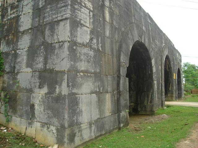
- My Son. - UNESCO World Heritage listed ruins of temples built by the ancient Champa civilisation, located close to Hoi An
- Na Meo. - border crossing town
- Van Phong Bay - Includes a 25-km long peninsula called Hon Gom and the islands Hon Lon (Big Island) and Hon Ong (Whale Island), one of the few places on the Vietnamese coast that remains semi-natural, after the decision to abort a container port project.
Cham Islands. - or in Vietnamese Cu Lao Cham are 7 islands that are17 km (9 nautical miles) offshore to the East of Hoi An river-ocean inlet
DMZ.
My Son. - UNESCO World Heritage listed ruins of temples built by the ancient Champa civilisation, located close to Hoi An
Na Meo. - border crossing town
Van Phong Bay - Includes a 25-km long peninsula called Hon Gom and the islands Hon Lon (Big Island) and Hon Ong (Whale Island), one of the few places on the Vietnamese coast that remains semi-natural, after the decision to abort a container port project.
This region is likened by the Vietnamese to the bamboo pole connecting the baskets of north and south. The Truong Son Mountains, stretching all the way to the coast between Hue and Da Nang, have traditionally divided the country in two in terms of weather and dialect, although the actual demarcation line during the Vietnam War was slightly higher up at the 17th parallel to the north of Hue.
Jul-Nov is the typhoon season, so it's wise to check the forecast a few days before your planned visit. Typhoons form in the Pacific, east of the Philippines. In some years, they curve north toward Taiwan and Japan and leave Vietnam in peace. In other years, they cross the Philippines and run straight into central Vietnam, causing flooding and wind damage. The threat of typhoons is one factor that has limited economic development in the central region relative to the north and south.
- The Citadel of the Hồ Dynasty, a UNESCO World Heritage located some 40 km north of Thanh Hoa
The Citadel of the Hồ Dynasty, a [[UNESCO World Heritage]] located some 40 km north of [[Thanh Hoa]]