Great Smoky Mountains National Park, United States
Clingmans Dome is a mountain in the Great Smoky Mountains of Tennessee and North Carolina, in the southeastern United States. At an elevation of 6643ft, it is the highest mountain in the Smokies, the highest point in the state of Tennessee, and the highest point along the 2174mi Appalachian Trail. It is also the third highest point in all of Eastern North America, after the nearby Mount Mitchell (6684ft) and Mount Craig (6647ft).
Clingmans Dome has two subpeaks: 6560ft Mount Buckley to the west and 6400ft Mount Love to the east. The headwaters of several substantial streams are located on the slopes of Clingmans Dome, namely Little River on the north slope, and Forney Creek and Noland Creek (both tributaries of the Tuckasegee River) on the south slope. The mountain is located entirely within the Tennessee River watershed.
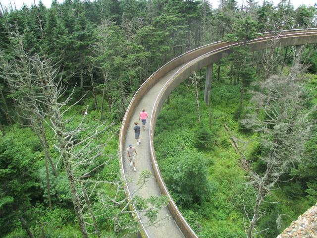
Clingmans Dome is protected as part of the Great Smoky Mountains National Park. A paved road connects it to U.S. Highway 441 (Newfound Gap Road). The 45ft concrete observation tower, built in 1959 and listed on the National Register of Historic Places, offers a panoramic view of the mountains. An air quality monitoring station, operated by the Environmental Protection Agency, is the second highest in eastern North America.
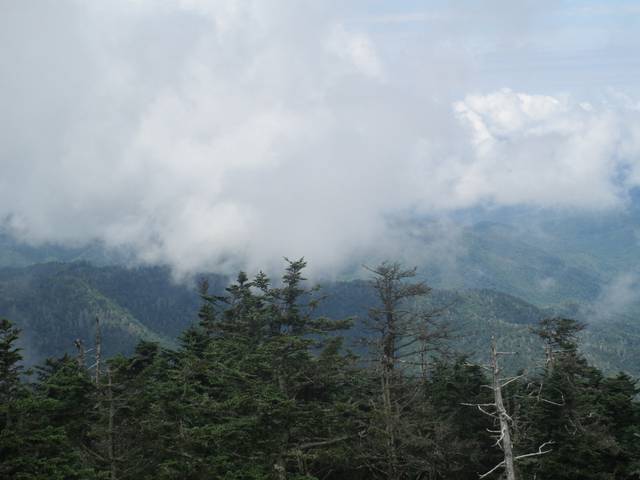
The Southern Appalachian spruce-fir forest which covers Clingmans Dome occurs only at the highest elevations in the southeastern United States, and has more in common with forests at northern latitudes than with the forests in the adjacent valleys. Clingmans Dome stands prominently above the surrounding terrain, rising nearly 5000ft from base to summit. The forest on and around Clingmans Dome has experienced a large die-off of Fraser fir caused by the non-native insect, balsam woolly adelgid.